
Research
Scientific project
The scientific project of the laboratory is structured around three main axes:
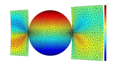
- A scientific axis, focusing on the study and understanding of the propagation and diffusion of electromagnetic (EM) fields and mechanical waves, divided into three themes: "Multi-physical characterization of materials", "Inspection of elongated structures" and "Imaging and monitoring of the subsurface".
- A methodological axis, dedicated to the development and implementation of methodological tools for conducting research, in terms of "Numerical and physical modeling", "Information processing", and "Instrumentation and measurements".
- An applicative axis, highlighting the societal needs to be addressed by the research activities, which are further categorized by types of territories: “Cities and urban and suburban territories”, “Fluvial and rural territories” and "Maritime and coastal territories".

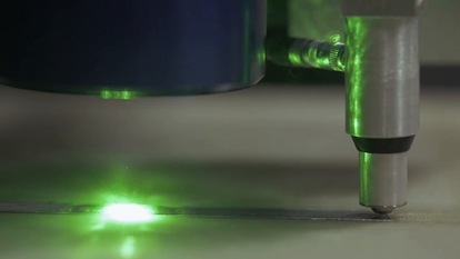
Multi-physical characterization of materials
Key ObjectConcrete |
Physical MethodsUltrasound (non-linear, volume and surface waves, CODA waves) |
ChallengesDurability indicators |

Inspection of elongated structures
Key ObjectCables |
Physical MethodsGuided Ultrasonic Waves |
ChallengesMulti-strand geometry |

Imaging and monitoring of the subsurface
Key ObjectDikes |
Physical MethodsSurface Seismic Waves (active/passive) |
ChallengesDefect/object resolution |
Numerical and physical modeling
DevelopmentsGuided wave numerical model |
ToolsSEM |

Information processing
DevelopmentsInversion strategies |
ToolsMapping |
Instrumentation and measurements
DevelopmentsSubmerged sensors (US and EM) |
ToolsCharacterization cells (US, EM) |
The study objects of GeoEND are linked to the strategic projects of the COP 2023-20251
Territories | Strategic Projects of the COP 2023-20251 | Multi-physical characterization of materials | Monitoring of slender structures | Imaging and monitoring of the subsurface |
Cities & Urban and Peri-urban Territories | PS 1.1 | - Construction materials (asphalt, concrete) - Soils | - Civil engineering structures (cables) - Pipelines | - Mobility infrastructure (OA and roads) - Recent & old buildings - Cultural heritage |
Fluvial and Rural Territories | PS 3.1 | - Natural soils - Soil-cement | - Dikes and levees (Fluvial) | - Earthworks - Cavities - Deep geological storage |
Marine and Coastal Territories | PS 3.1 | - High-performance concrete (exposed to tidal changes) | - Sea protections - Umbilicals (EMR) | - Coastal & offshore subsurface recognition and imaging (EMR) - Anchors (EMR) - Port infrastructures - Protective dunes |
1 Strategic Projects of the COP 2023-2025 related to GeoEND activities
- PS 1.1 : Innovative construction and development
- PS 3.1 : Risk prevention
- PS 1.2 : Old and new materials
- PS 3.5 : Adaptation to climate change
- PS 1.3 : Durability and safety of built heritage
- PS 1.5 : Energy systems